teaching resource

Map of New Mexico Template

Teach Starter Publishing
PDF|1 page|成绩:1 - 6

A blank map of New Mexico to use during Geography lessons.

Use this blank map when learning about the individual states that form the United States of America.

Encourage your students to add items to the map such as: a compass rose, a legend, the state capital, and other major cities.

Students could also add relevant natural features to the map such as major rivers, lakes, and mountain ranges.

0 Comments

Write a review to help other teachers and parents like yourself. If you'd like to request a change to this resource, or report an error, select the corresponding tab above.

Login发表评论
  • Go to Landform Diorama Project teaching resource

    teaching resource

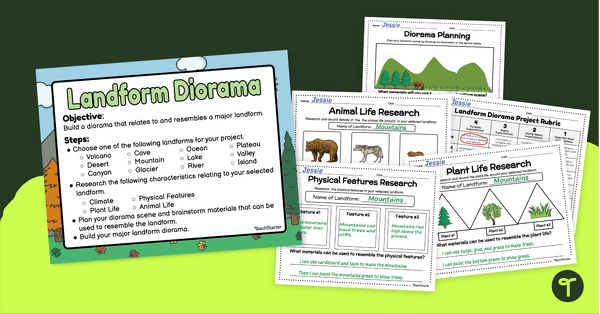
    Landform Diorama Project

    Create and display a diorama of a landform with our landform project planning and creation templates.

    Teach Starter Publishing 9pages 成绩:1 - 4
  • Go to Natural Landforms Sorting Activity teaching resource

    teaching resource

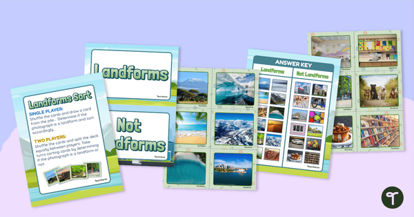
    Natural Landforms Sorting Activity

    Identify the major landforms of the world with a sorting activity.

    Teach Starter Publishing 7pages 成绩:K - 2
  • Go to 13 Colonies Map - Labeled teaching resource

    teaching resource

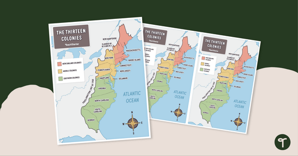
    13 Colonies Map - Labeled

    Build understanding of Colonial America with a labeled 13 colonies map.

    Teach Starter Publishing 1page 成绩:3 - 6
  • Go to 13 Colonies Map - Blank teaching resource

    teaching resource

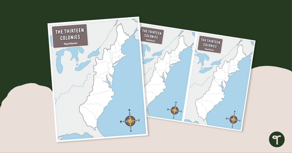
    13 Colonies Map - Blank

    Build understanding of Colonial America with a blank 13 colonies map.

    Teach Starter Publishing 1page 成绩:3 - 6
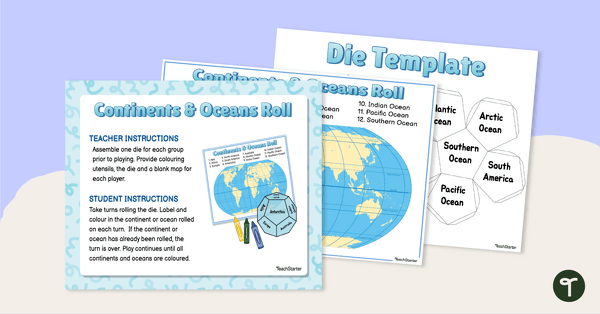
  • Go to Continents and Oceans Roll and Color Game teaching resource

    teaching resource

    Continents and Oceans Roll and Color Game

    Learn to identify the continents and oceans of the world with a Continents and Oceans Roll and Color Game.

    Teach Starter Publishing 4pages 成绩:1 - 3
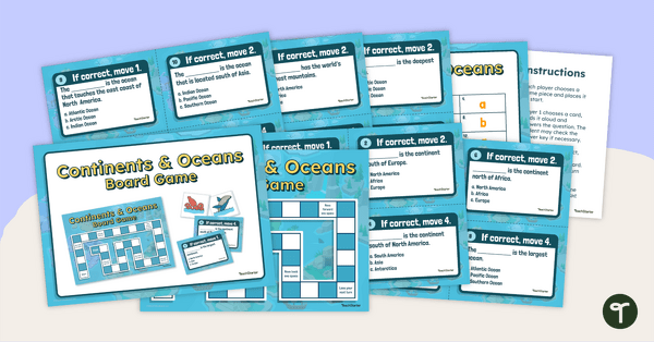
  • Go to Continents and Oceans Board Game teaching resource

    teaching resource

    Continents and Oceans Board Game

    Make world geography fun by using our Continents and Oceans Board Game!

    Teach Starter Publishing 9pages 成绩:1 - 4
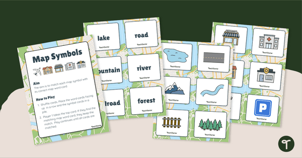
  • Go to Map Symbols Matching Activity teaching resource

    teaching resource

    Map Symbols Matching Activity

    Practice identifying the symbols found on a map with a map symbol matching activity.

    Teach Starter Publishing 6pages 成绩:K - 2
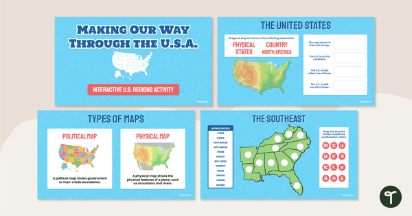
  • Go to Google Interactive - Regions of the United States teaching resource

    teaching resource

    谷歌互动——地区的美国

    Practice identifying states in the five regions of the United States with a Google Interactive activity.

    Teach Starter Publishing 1page 成绩:3 - 6
  • Go to Our Physical Environment Bingo teaching resource

    teaching resource

    Our Physical Environment Bingo

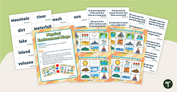
    Build and master the ability to identify land and water formations in the physical environment with a game of Physical Environment Bingo!

    Teach Starter Publishing 16pages 成绩:K - 2
  • Go to U.S. Mountains and Rivers - Task Cards teaching resource

    teaching resource

    U.S. Mountains and Rivers - Task Cards

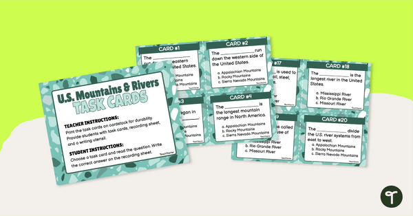
    Identify the major mountain ranges and rivers in the United States with a set of descriptive task cards.

    Teach Starter Publishing 1page 成绩:1 - 3