Classroom printables, activities & worksheets
World Geography Teaching Resources
32 of 54 teaching resources for those 'aha' moments
-
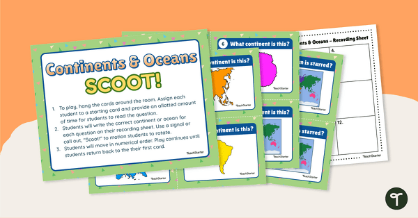
teaching resource
Continents and Oceans Scoot! Game
Learn to locate and identify the continents and oceans on Earth with a game of SCOOT!
-
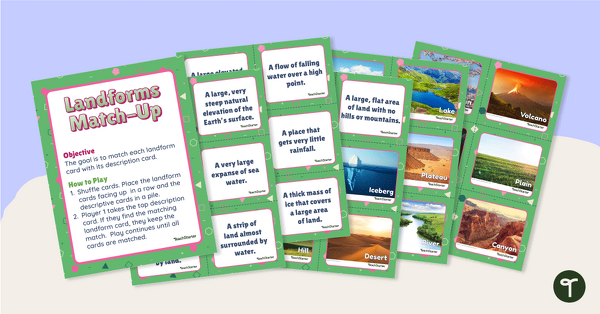
teaching resource
Landforms Vocabulary Match
Identify the major landforms of the world with a matching activity.
-

teaching resource
Looking at Landforms Worksheet
Identify the major landforms of the world with a labeling worksheet.
-
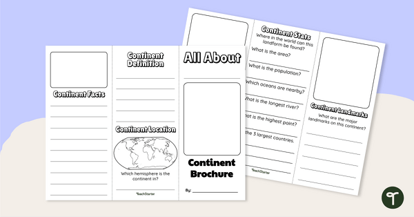
teaching resource
World Continents Brochure Template
Replace your continents worksheets with a printable continents brochure project.
-

teaching resource
Landforms of the World - Brochure Template
Add to your bank of landform project ideas with a free Landform Research Brochure.
-
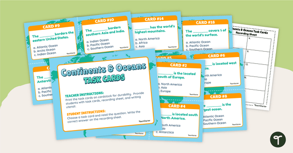
teaching resource
Continents and Oceans Task Cards
Practice identifying and describing the 7 continents and 5 oceans with a set of task cards.
-
teaching resource
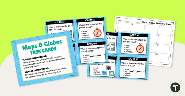
Maps and Globes Task Cards
Practice identifying features of maps and globes with a set of map and globe task cards.
-
teaching resource
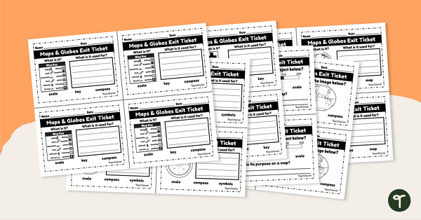
Maps and Globes-Exit Tickets
Assess student map and globe skills with twenty exit ticket worksheets.
-
teaching resource
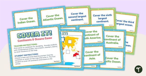
Cover It! Continents and Oceans Game
Turn geography into a fun and educational learning experience using our Cover It! Continents and Oceans Game
-
teaching resource
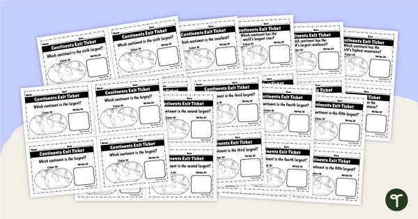
World Continents and Oceans Exit Tickets
Determine your students' mastery of Geography concepts with a set of twenty continents and oceans exit tickets.
-
teaching resource
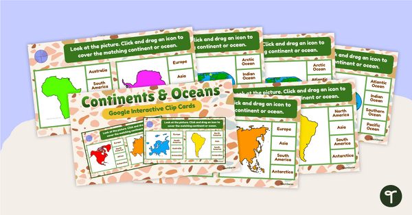
Continents and Oceans Interactive Clip Card Center
Turn geography into a digital learning experience with a Google Slides Interactive Continents and Oceans activity!
-
teaching resource
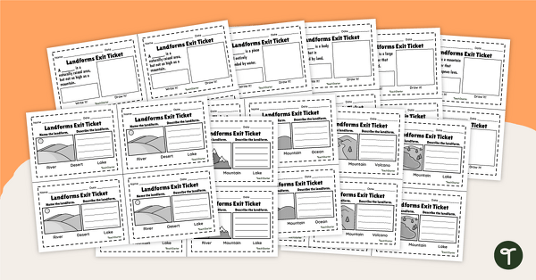
Geographic Landforms - Exit Tickets
Explore the features of various landforms with this set of 20 exit tickets.
-
teaching resource
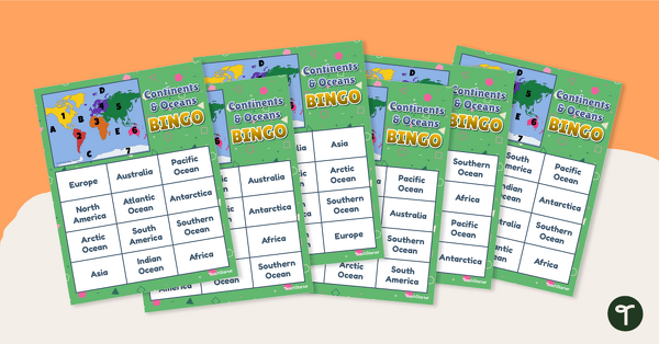
Continents and Oceans Bingo - Geography Game
Turn geography into a fun and educational learning experience by using our Continents and Oceans Bingo Game!
-
teaching resource
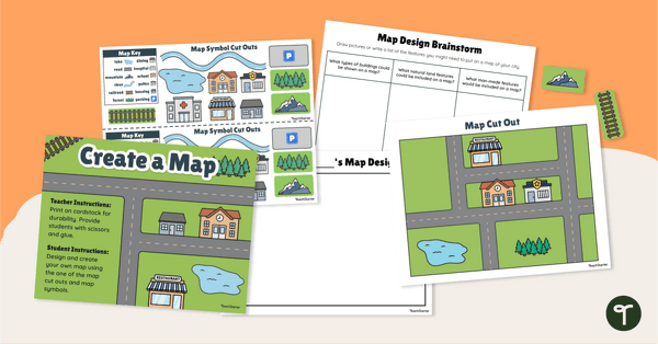
Me on the Map - City Map Project
Engage young learners in developing their map skills with a design-your-own map project.
-
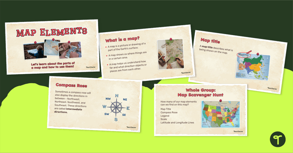
teaching resource
Me on the Map - Map Elements Presentation
Teach the components of a map with a map elements teaching presentation.
-

teaching resource
Labeling the Continents and Oceans Worksheets
Turn geography into a fun and educational learning experience by using our free Continents and Oceans worksheets!
-
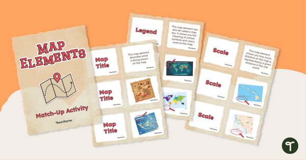
teaching resource
Elements of a Map Match-up Activity
回答这个问题“什么是eleme的关键nts of a map?" with a map element matching activity.
-

teaching resource
美国山脉、河流和土地Workshee特性t
Apply knowledge of the major U.S. land features, mountains, and rivers with a map labeling worksheet.
-
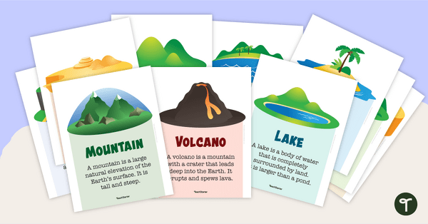
teaching resource
Natural Landforms for Kids Poster Collection
地球上显示和教的地貌类型with a set of fifteen Natural Landforms posters.
-

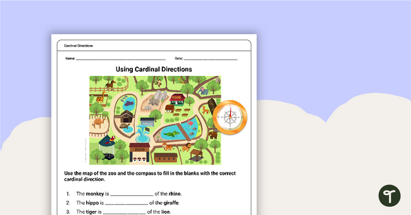
teaching resource
Free Cardinal Directions Worksheet for First Grade
Use cardinal directions to create a simple town map with this 2-page cut-and-paste activity sheet.
-
teaching resource
Free Map Skills Worksheet- Using Cardinal Directions
A worksheet to practice using cardinal directions.
-

teaching resource
The Continent of South America PowerPoint
A 20-slide, editable PowerPoint template to use when introducing students to the geographical features of South America.
-

teaching resource
World Geography – Word Wall
Content-specific vocabulary cards for a word wall based on the World Geography resources.
-
teaching resource
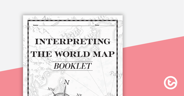
Interpreting the World Map Booklet – Worksheet
A workbook asking students knowledge about features on the world map.
-
teaching resource
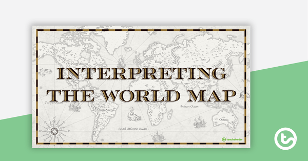
Interpreting the World Map – Teaching Presentation
An 18-slide PowerPoint presentation to use when teaching students about the main features of the world map.
-
teaching resource
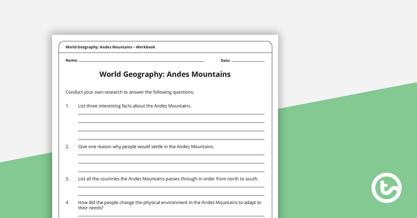
World Geography: Andes Mountains – Workbook
A workbook for students to use their investigation and map skills while learning about civilizations in the Andes Mountains.
-
teaching resource
World Geography – Inquiry Project
A geography inquiry investigation for students to research a civilization and how they adapted to their environment and landscape.
-

teaching resource
World Geography: Inuit Territories – Workbook
A workbook for students to use their investigation and map while learning about civilizations in Inuit Territories.
-

teaching resource
World Geography: Egypt – Workbook
A workbook for students to use their investigation and map while learning about civilizations in Egypt.
-

teaching resource
World Geography: Greece – Workbook
A workbook for students to use their investigation and map skills while learning about civilizations in Greece.
-

teaching resource
World Geography: Australia – Workbook
A workbook for students to use their investigation and map skills while learning about civilizations in Australia.
-

teaching resource
World Geography: India – Workbook
A workbook for students to use their investigation and map skills while learning about civilizations in India.