Classroom printables, activities & worksheets
Coordinates
10 teaching resources for those 'aha' moments
-
teaching resource
Draw a Town with 2D Shapes
An interactive and evolving resource where students draw 2D shapes incrementally to create a town map and 3D models.
-
teaching resource
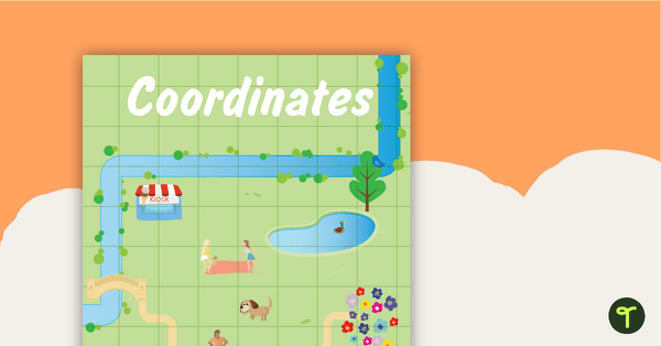
Coordinates Posters
Two posters to display in your classroom explaining coordinates.
-
teaching resource
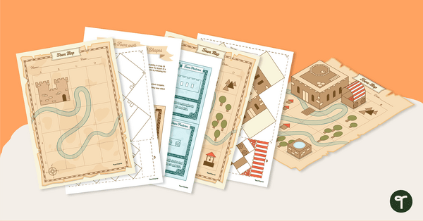
Pirate Mapping Skills Worksheet
A worksheet to use when learning about basic mapping skills.
-
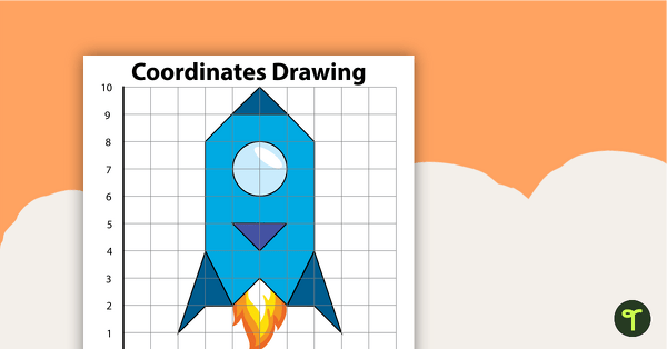
teaching resource
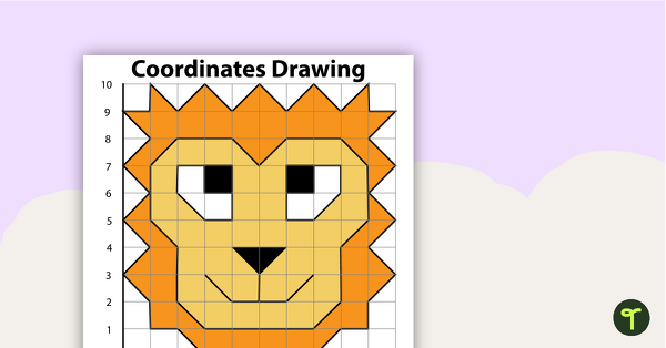
Coordinates Drawing - Rocket
Students create this rocket by following the directions.
-
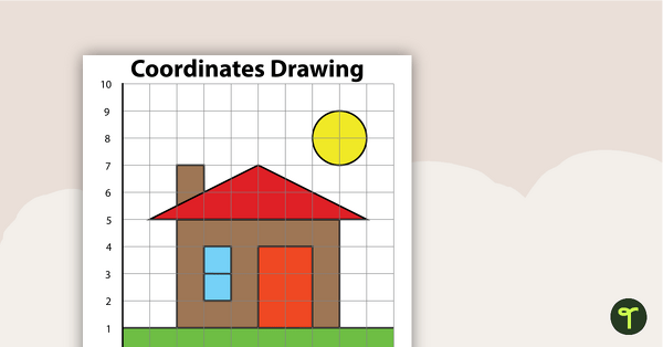
teaching resource
Coordinates Drawing - House
Students create this house by following the directions.
-
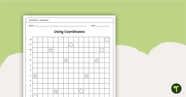
teaching resource
Coordinates Worksheet Pack
An 11-page worksheet pack teaching children about coordinates.
-
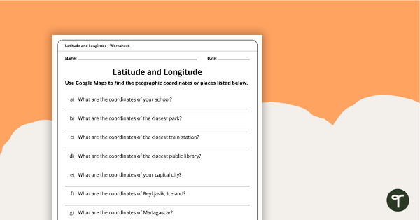
teaching resource
Latitude and Longitude Worksheet
Use this worksheet along with Google Maps to teach your students about longitude and latitude.
-
teaching resource
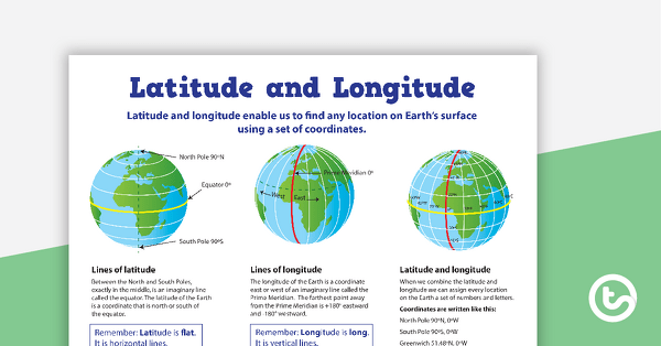
Latitude and Longitude Poster
Use this educational poster when students are learning about geographical coordinates, latitude and longitude.
-
teaching resource
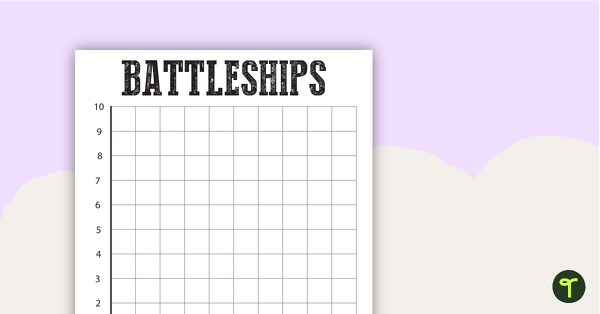
Battleships Grid Template
A template to help consolidate students' understanding of coordinates.